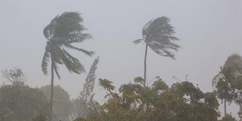
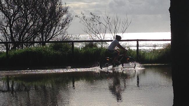
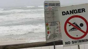
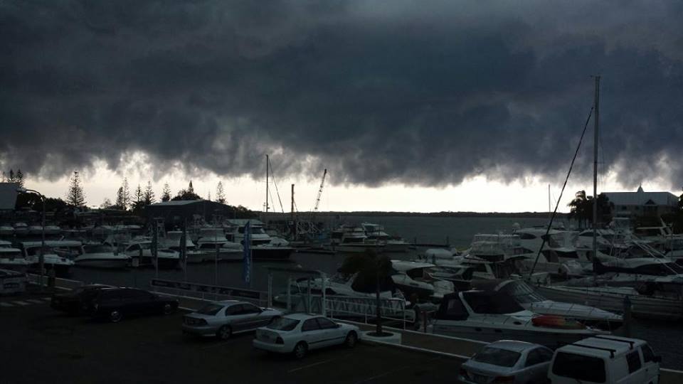
The latest weather effecting the Runaway Bay Marina, Gold Coast, Australia.

Cyclone Oma skips the Gold Coast – but weather alert still stays
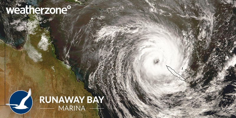
Cyclone Oma 2019 Gold Coast weather zone

It’s been an interesting few days on the Gold Coast as the community has been watching and receiving updates on the movements of Tropical Cyclone Oma and it’s anticipated impact along the coastline of South East Queensland and Northern New South Wales.

As of this morning, the cyclone had been downgraded to a category 1 with the official cyclone watch being withdrawn but the possibility of it being upgraded back to a category 2 as it moves closer to the coast.

With a 600km diameter (twice the size but not as strong as Cyclone Debbie) there a strong emphasis on being prepared and not taking any chances on the water with the strong weather patterns expected to generate huge swells, beach erosion and strong winds inland.

With all Gold Coast beaches closed and waves that are even too big for the most experienced surfers, everyone is being asked to be sensible and take the right precautions and have everything secured and tied down.

The Runaway Bay Marina will as usual, be open all weekend if you need to contact our office for any reason. Please refer to the Bureau Of Meteorology website for updated developments and information.

Stay safe and enjoy the weather show!

Image Source: Weatherzone
 

Safe Boating for Summer

summer boating safety

Hurray for Summer!

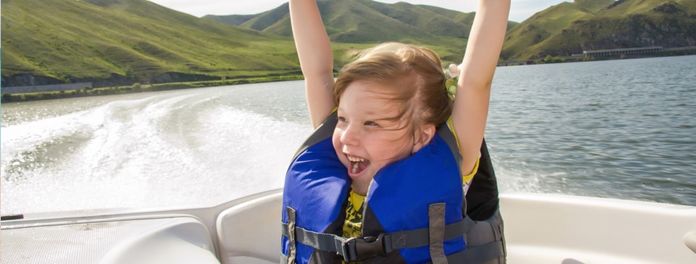
If last year was anything to go by, this summer holiday season will have a lot of people out boating on the Broadwater. It is a timely reminder to be safe and considerate to those around you. Ensure your safety equipment is up to date and suitable for your vessel and number of passengers on board.

Below are a few key areas to be mindful of at all times when on the water:

  1. Watch your speed.
  2. Watch your vessel wash.
  3. Be respectful to and considerate of others.
  4. Keep an eye on young children at all times.

Have a very merry Christmas and all our best wishes for the New Year!!!

For more boating tips, safety information and more, subscribe to our email newsletter!

Weather Notice

storm warning


March 30th 2017

We are aware of the adverse weather conditions and we will continue to monitor the situation closely.

At this stage we have closed the shipyard and its operations; however the rest of the marina is still open and we will let you know of any changes.

If you have concerns for your safety and or your home, please call the SES.

Stay safe everyone.

Update: March 31st 2017

The Marina is open and all services in operation.
There has been no damage to the Marina.

We will keep you updated on any changes.

Extreme Heatwave hits the Gold Coast

Australia is known for it’s extreme weather and this year, the Gold Coast is feeling it in full force with temperature records being broken weekly.

In the last few years, the average temperature has an increased 1 degree per year, which doesn’t sound a lot however if this pattern continues we can anticipate pretty unbearable summers in ten years time!

Many Gold Coasters have been seeking refuge in the water and making the most of our coastal access.  The marina has been extremely busy with our boaties trying to keep cool on the Gold Coast waterways and urge everyone to take care while they are out and about.

A few things to consider during a heatwave:

Dehydration: If you are out in the sun whether it be for work or recreation, by the time you feel thirsty, you are already dehydrated.  Keep your fluids up but do it properly. Taking small sips of water will do nothing to replenish you, you need to have proper drinks – mouthfuls at a time – in order for it to have any affect.

Sunburn: Even when there is cloud cover, you will still burn if outdoors wearing no sun protection.  Ensure you are covered as best you can, reapply your sunscreen and if possible stay out of direct sunlight during the peak times of 11am-2pm.  If you are out on the water, you are doubling your chances of sunburn with the water reflection.

Good luck to everyone staying cool and enjoy the water!

heat wave Jan 2016

Gold Coast set to be hit by wild weather

It’s coming! South East Queensland has been warned to brace for wild weather, torrential rain, strong winds and huge swells over the next 48-72 hours. The weather system we’re expecting is currently sitting off the coast of Cairns and is forecast to travel down south and arrive on our doorstep tomorrow.


It is estimated that there could be up to 400mm of rain in the hinterland and 200mm along the coast in the days leading up to the weekend. This in addition to king tides and dangerous surf conditions could possibly see beach closures on the Gold Coast with beach erosion being the main concern. Flash flooding is also an issue with creek beds set to rise with the massive amount of rain.
Strong winds have been predicated as part of three separate systems consisting of two lows currently moving along the Gulf of Carpentaria and and Cape York together with a third low forming in the Coral Sea. Each of these monsoon lows are being monitored to track their progress and see if they will develop into a cyclone.


All areas that are scheduled to be affected (Cairns, Sunshine Coast, Gladstone, Brisbane and Gold Coast) are being urged to be prepared and not take any risks in the next few days.  “Even those in the city areas, making sure you’ve got stuff tidied up, that loose items are secure, particularly if we start getting warnings later in the week and we find the potential cyclone is heading our way.” Gladstone disaster management coordinator Mark Homes warns.


With the Gold Coast coastline expecting to bear the brunt, here are some tips to prepare yourself, your boat and your property with the scheduled wild weather:


  • Do not go out on the waterways
  • Ensure all boats and water vessels are moored safely and securely
  • Remove any objects from the deck of the boat which could be damaged or swept out with strong winds
  • Do not drive through flooded roads and areas – even if it looks like a puddle, it can quickly turn into something a lot deeper and dangerous
  • Stay indoors if weather conditions are extreme
  • Ensure all guttering around your home is clear and unblocked
  • Ensure any outdoor furniture or other items that can be moved in strong winds are secure
  • Have torches ready in case you experience a loss of power
  • Have phones charging in case you experience loss of power and need to use your phone
  • Ensure your cars are parked under shelter

Above all use your common sense and don’t take any risks that are not necessary and be safe.


King Tide washes away the coastline


It was not something the residents of Biggera Waters and Labrador expected to see that day with up to 13 roads awash with waters from the 1.84 metre King Tide. The good news is, even though some of the roads were a bit tricky to navigate through, the beaches themselves are still open.


With a larger than average swell which is to be expected with any king tide, Life guard Chief Warren Young advised that even with this tide expected to be the highest of the year, the beaches are still safe “for a swim between the flags.”


So what exactly is a King Tide? Put simply a king tide is an above average high tide which is seen only a few times throughout a year. The cause of a king tide can be either from when the tide is enhanced when the earth is closest to the sun (this usually occurs in January) or when particular weather patterns form.


Usually king tides are predicable and also the main cause of erosion on Gold Coast beaches.


Gold Coast Beaches Closed From Strong Winds

If you are a surfer, kiteboarder or wind-surfer, these gusty conditions must be absolute paradise! For the rest of the beach goers, perhaps not so good.


For the second day in the row Gold Coast beaches have been closed due to 90km/hr winds whipping up a 2 metre swell with one wave off the Southport Seaway being measured at 6 metres. Whilst the conditions are still appealing to some, the Lifeguards are warning people to be cautious.


At least with the sun out, the beach is still good for sunbathing.


The First Big Storm Front for 2014

Runaway Bay Marina had a front row seat to the first major storm cell crossing the Gold Coast for 2014.

The storm cell had been moving up the coast and came directly inland from the sea. We were hit with rain and hail and then just as quickly as started, it finished twenty minutes later and we were back to relatively clear skies.

One thing is for sure we definitely had the best seat in the house at the Marina!

The Aftermath of Ex-Tropical Cyclone Oswald

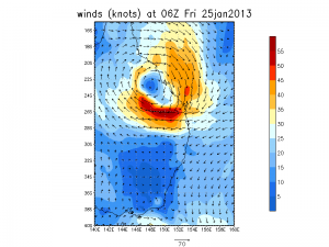
It’s hard to believe that it was less than a month a go the coast line of the Gold Coast was hit hard with the winds and tides from a very angry ex-Tropical Cyclone Oswald on Australia Day weekend.

 
Mike Grundy, Operations Manager of Runaway Bay Marina, was on-site during the weather front. “The Marina was affected most by the un-relenting north east wind direction, the worst for the position of the Marina. The wind and waves impacted on the end of A and B piers causing damage, however the boats were not affected. Our live-a-boards at the Marina did have a few sleepless nights though!”

 
“We had a light pole come down and there was also damage to some signage, awnings and a few boat covers. Apart from that, lots of debris blown in and a few branches down, making for a decent clean up once the storm had passed.”


All things considered the Runaway Bay Marina fared quite well as compared to some areas to the north and south. We’re all preparing on the East Coast for another messy weekend with the weather, so please ensure you check the weather conditions before considering venturing out on the water. Happy and safe boating!